M-Street Excavation & Tunnel
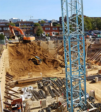
GEO monitored a 32-foot deep excavation and a WMATA metro tunnel adjacent to the excavation in Washington DC.
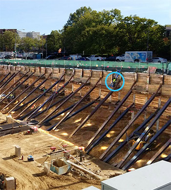
The SOE consisted of drilled soldier piles braced with whalers and rakers. GEO’s technician can be seen on the wall.
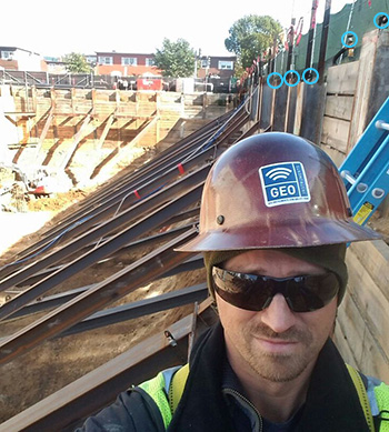
Monitoring prisms, a few visible in this photo, were mounted at the top of each pile around the entire perimeter of the excavation.
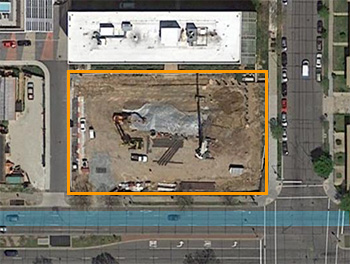
One wall of the excavation was located within 33 feet of a WMATA metro tunnel. The tunnel alignment is shown in blue.
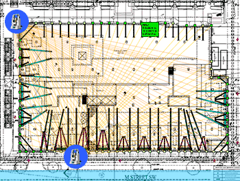
The spatial positions of the prisms were measured by two AMTS systems. Changes in the position of a prism indicated movement.
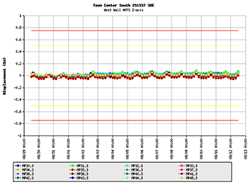
GeoCloud web servers processed the measurements, checked for alarm conditions, and made the data available on a project website.
Existing WMATA Tunnel
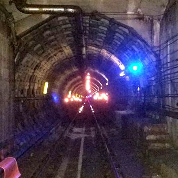
GEO also monitored the WMATA tunnel near the site. Above, you can see the reflections from prisms mounted on the tracks, springlines, and crown of the tunnel.
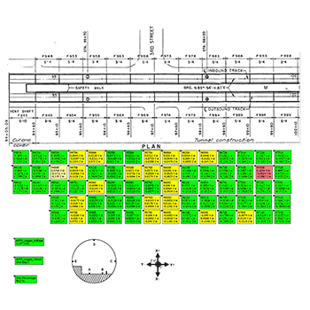
This plan view shows a 350 foot span of the tunnel along with XYZ displacements calculated from measurements from each prism.
