Stack Demolition
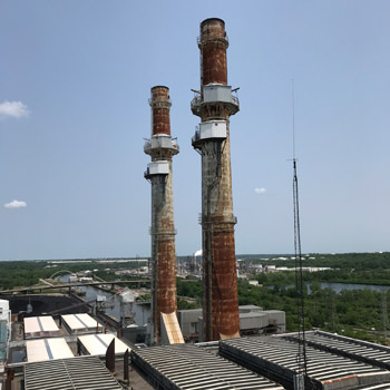
The polar vortex event in January 2019 brought extreme fluctuations in temperatures that cracked the entire length of this 250 foot stack.
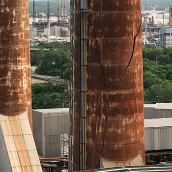
The crack affected both the brick liner and the steel outer casing. The unstable stack had to be monitored before and during demolition.
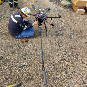
The monitoring solution involved placing survey prisms onto the steel casing of the stack using a drone equipped with a ten-foot arm.
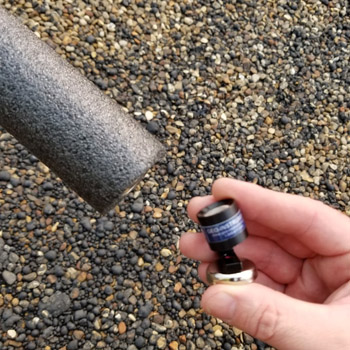
Standard prisms would be too heavy for the drone, so GEO proposed microprisms fitted with magnetic bases.
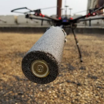
The photo above shows the arm of the drone loaded with a microprism. The magnetic base is facing outwards.
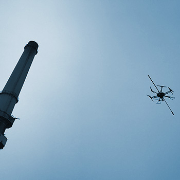
Manual surveyors determined locations and angles for each of ten prisms. Drones then carried the prisms to the stack.
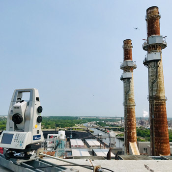
The photo above gives some idea of the skill required by the drone pilots. A second drone was used to provide a cross-axis view.
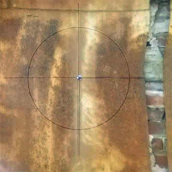
A microprism is visible in the crosshairs of the AMTS. The cracked steel and brickwork are clearly visible to the right.
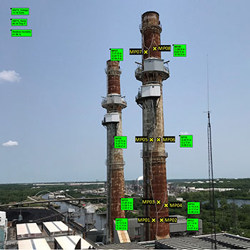
The stack was monitored continuously, with updates posted on the GeoCloud website every 30 minutes.
