Coastal Cliff Erosion Threatens Road
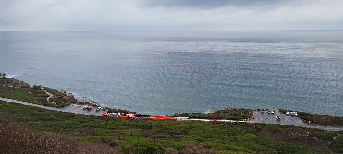
Coastal erosion threatens the safety of a road leading to an industrial site. At this location, the cliff has advanced inland to within 20 feet of the road. A 600-foot horizontal shape array, piezometers, and vibration monitors were installed to provide continuous monitoring.
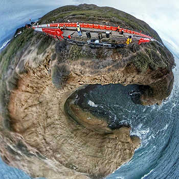
The cliff has a steep drop off to the cove below, as shown in this 360° view.
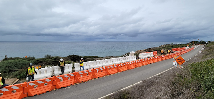
The road surface could have been monitored with an AMTS system and road prisms, but engineers wanted more direct, sub-surface measurements.
The solution was a 600 foot horizontal shape array (SAAX) installed in a trench below the road surface.
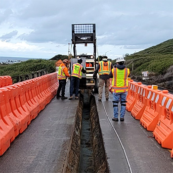
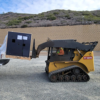
The shape array was reeled off a skid steer that traversed the length of the trench.
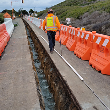
Protective pipe was pulled onto the shape array in 30 foot sections.
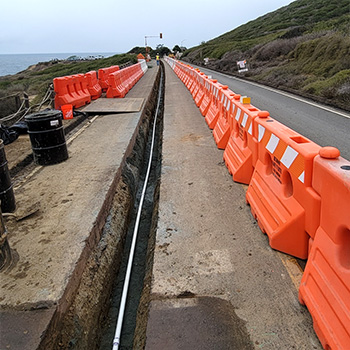
Finally, the shape array was lowered into the trench.
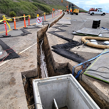
One end of the array was terminated in a vault. The trench was later backfilled with grout.
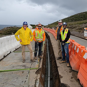
Careful planning reduced installation time from a predicted 4 hours to just 1.5 hours.
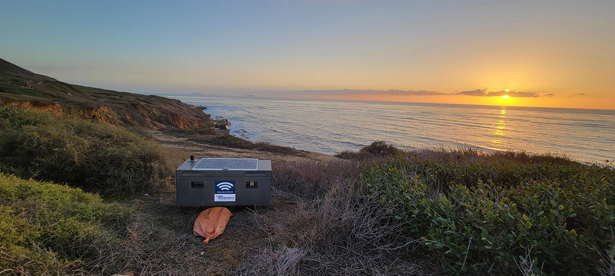
RVM with a View
The sunset scene above shows one of the two RVM vibration monitors that were also installed. There is no cellular service at this location, so measurements from the shape array, vibration monitors, and piezometers were sent to the plant's network by point-to-point radio and then forwarded to the cloud for processing.
