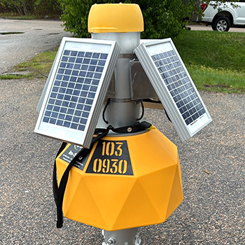
LoRa Logger Setup App
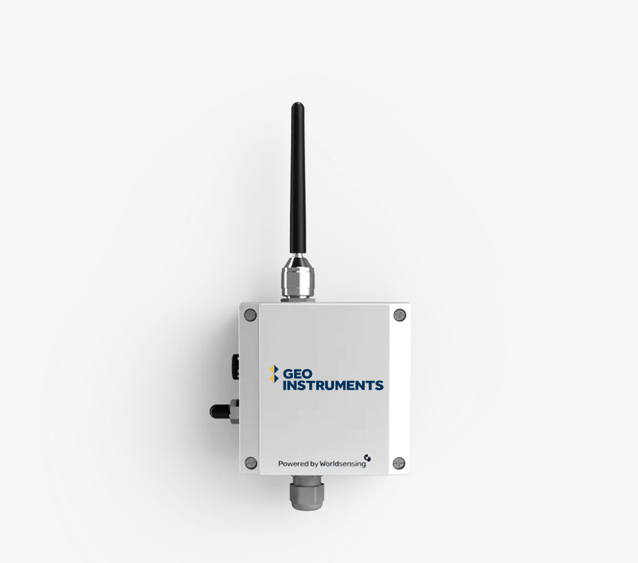
News Archive GEO-Instruments App for LoRa Loggers LoRa Datalogger Network A LoRa logger network consists of wireless dataloggers and a gateway. The compact, self-powered loggers read and store measurements from sensors and then transmit them to the gateway. The gateway forwards the readings to a secure local or internet server. The mobile app runs on…
Read MoreStructural Health Monitoring of Mine Shafts
Structural Health Monitoring of Mine Shafts The Project Site GEO-Instruments Canada provided instrumentation and monitoring during development of a potash mine in Saskatchewan. The potash deposits were 900 meters underground, so the mine had to construct access shafts. Instrumentation was required during construction of the shafts and also for large-scale testing of the concrete mixes…
Read MoreWide-Area Wireless Data Logging for Tailings Dam

Wide-Area Wireless Data Logging for TSF Requirements for the loggers included long-range radio communication and efficient battery-powered operation. The loggers had to deliver measurements at temperatures well below zero for much of the year. Challenge GEO-Instruments Canada was tasked with installing a monitoring system at a tailings dam attached to a major iron ore mining…
Read MoreElastiSense Displacement Sensors
News Archive New: ElastiSense Crackmeters & Jointmeters These rugged sensors are ideal for monitoring cracks and joints in bridges, tunnels, buildings, dams, retaining walls, and even rock faces. Extreme Durability Flexible, waterproof, immune to misalignments, heat, cold, dirt, dust, chemicals, and vibrations. Easy Installation Low profile, no special mounting, no protection, no maintenance, and compatible…
Read MoreEWS Satellite Loggers
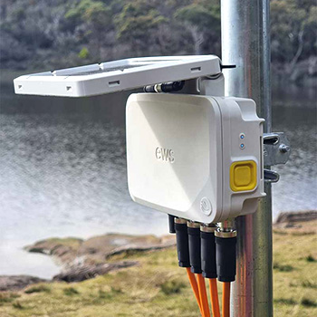
News Archive New: EWS Satellite Loggers EWS satellite loggers are compact, battery-operated devices with built-in satellite connectivity certified by the Iridium Satellite Network. Measurements sent from EWS loggers in the field can be viewed just minutes later on office and mobile web browsers. EWS loggers are designed for easy deployment. Their all-in-one design eliminates the…
Read MoreLocator One GNSS Sensors
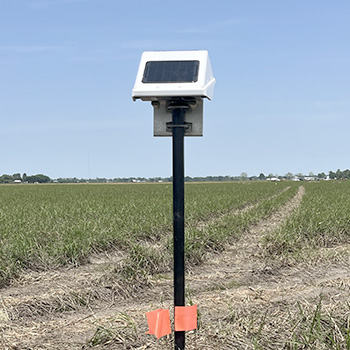
News Archive New: Locator One GNSS Sensors Locator One GNSS Sensors Locator One GNSS sensors use satellite signals to monitor settlement and lateral displacements. GEO-Instruments is deploying these sensors on its own projects and has them available as rentals. Locator One Applications Automating measurements of settlement plates. Monitoring slope stability at open pit mines, tailings…
Read MoreGKM Consultants rebrands to Geo-Instruments
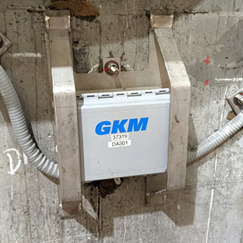
News Archive GKM Consultants rebrands as Geo-Instruments Geo-Instruments and GKM Consultants have collaborated on several large projects. Now they will be united under the same name. Above: The GKM and GEO people meet for team building. GKM Consultants GKM Consultants will adopt the GEO-Instruments name on September 2. GKM Consultants, based in Canada, is known…
Read MoreBridge Monitoring with GNSS
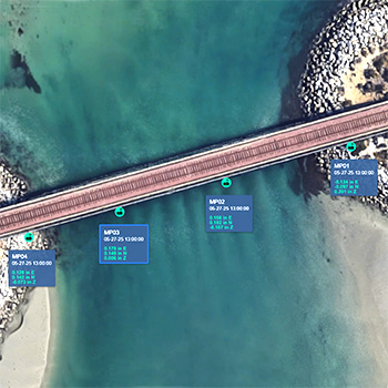
Bridge Monitoring with GNSS Locator One GNSS sensors can be installed quickly and are fully autonomous: no cables, no power supplies, no gateways, no protective housings, and no maintenance. Locator One GNSS sensors use signals from GNSS satellites to monitor displacements in 3D with an averaged precision of ±2mm horizontal and ±4 mm vertical. Locator…
Read MoreMonitoring Soil Consolidation with Locator One
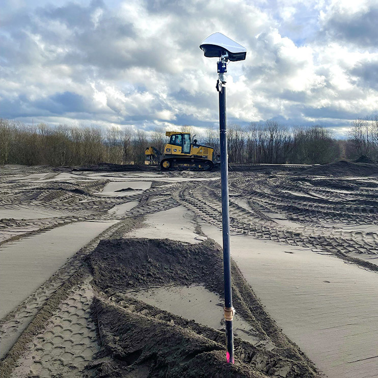
Monitoring Settlement with Locator One The Project An industrial structure will be sited on land that was previously used for farming. The soft ground is undergoing consolidation with wickdrains and a surcharge to improve its bearing strength and stability. Monitoring Requirements The progress of consolidation will be monitored using settlement plates. Specifications require weekly surveys…
Read MoreMonitoring Water Quality
Monitoring Water Quality The Project GEO is monitoring a construction project adjacent to a waterway. The project required water quality monitoring as well as the standard geotechnical monitoring. Monitoring Requirements The water quality parameters included pressure, water temperature, dissolved oxygen, pH, conductivity, and turbidity. Measurements were to be obtained at 1 to 6 hour intervals.…
Read More